|
|
|
|
 |
|
Click on Oeste, Centro, Oriente for our suggested itineraries.
|
|
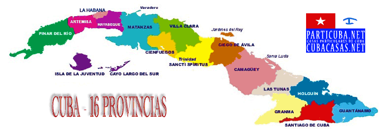
Click for geography & attractions of the 16 provinces
|
 |
|
Click to access 46 regional road maps
|
|
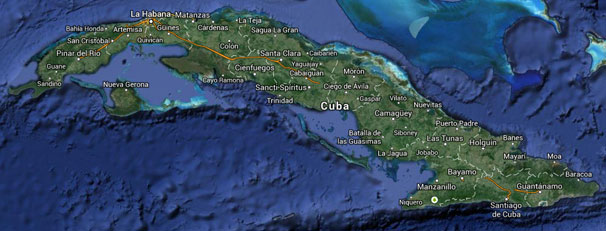
Hundreds of detailed city and town maps — GoogleMaps
|
|
Thousands of nameplaces, big and small
|
|
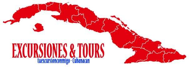
Details and prices of 200 excursions (PDF) sold locally by Cubanacan
|
|
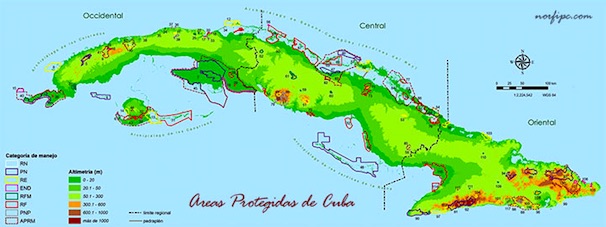
Full list of Cuba's Protected Areas
|
|
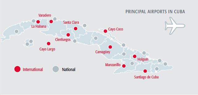
Airports Flight Arrivals - click on name ::: All landing strips on the island here
|
 |
|
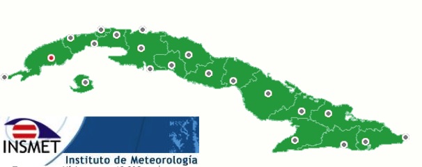
Cuban Weather Forecasts (INSMET); click any "M" for local tide schedule
|
|
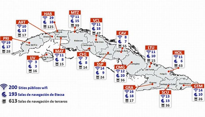
Cuba's wi-fi and wired Internet access points - Click for wi-fi spots
|
|
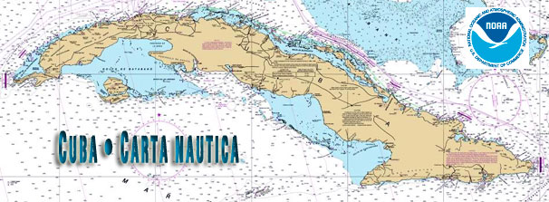
Cuba's Nautical Chart - Click to open on OCS site, then enlarge
|
|
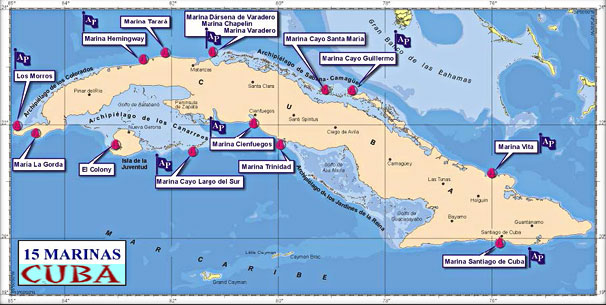
Click map - Free 524-page Cruising Guide © Frank Virgintino
|
|
Check today's weather in some 80 weather stations on the island.
|
|
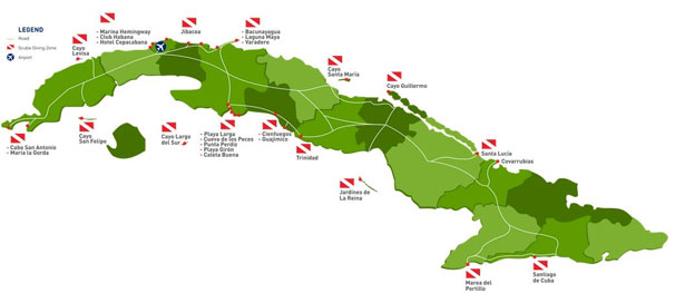
The 16 best-known areas for scuba diving - snorkel or tank.
|
|
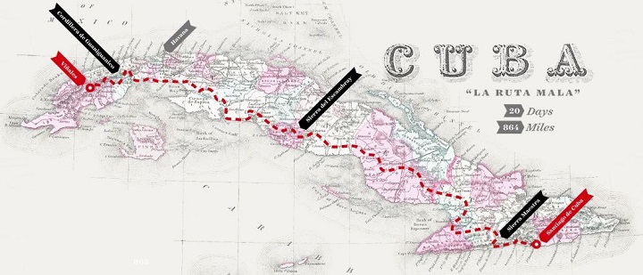
La ruta mala - riding the worst trails in the country.
|
|
Last updated
|

